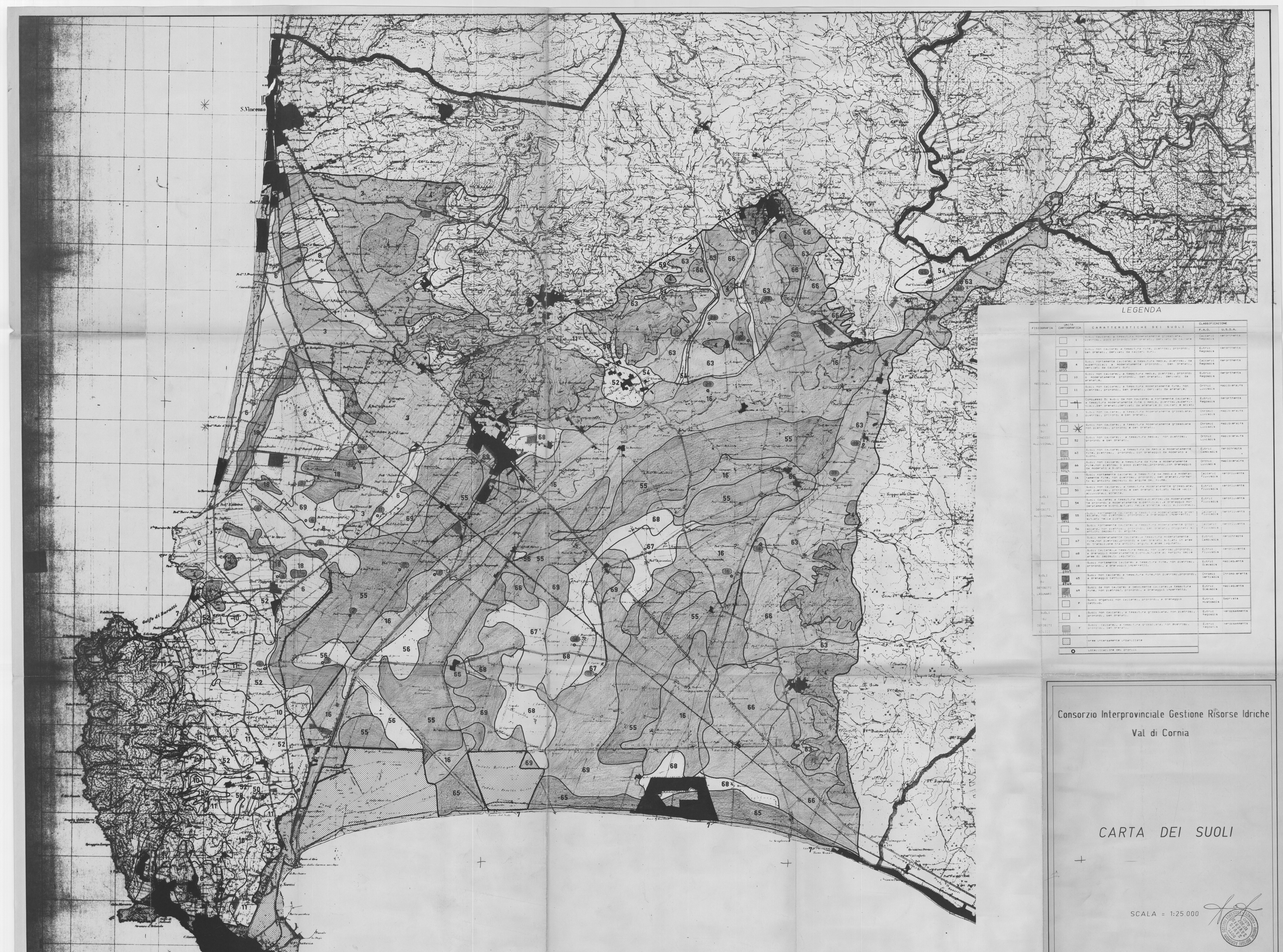
19_Edafos1988-ValdiCornia.jpeg
URL: https://soildatageneral.blob.core.windows.net/$web/maps/jpg/19_Edafos1988-ValdiCornia.jpeg
Dataset description:
carta dei suoli
Source: Consorzio Interprovinciale Gestione Risorse Idriche, 1988. Val Cornia (LI) 1:25'.000
Additional Information
| Field | Value |
|---|---|
| Data last updated | unknown |
| Metadata last updated | July 22, 2022 |
| Created | unknown |
| Format | JPEG |
| License | Creative Commons Attribution |
| Created | 2 years ago |
| Media type | image/jpeg |
| Available since | 2022-07-22 |
| Has views | True |
| Id | caf4189d-c041-408d-9419-cfb6f5b25ff7 |
| Package id | e2704fdb-89f0-4e61-8793-c591582624c5 |
| Position | 1 |
| State | active |

